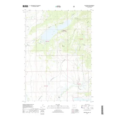
2017 Map of New Fork Lakes
USGS Topo · Published 2017About this map
New Fork Lakes and the surrounding wilderness of the Bridger National Forest dominate this high-country landscape. The topography is defined by significant water bodies and the drainage systems of the New Fork River, Willow Cr, and Lozier Cr. Access into this backcountry is marked by primitive routes and specialized trails, including the Wo He Lo Trl and Scout Camp Rd, reflecting a landscape managed for recreation and natural preservation. Notable geological landmarks like Little Flattop Mtn and the recessed Dumphy Hollow provide distinct navigational points for those studying the physical geography of Sublette County. The presence of The Narrows within the lake system suggests a complex glacial or tectonic history that has shaped the modern waterways.
Find a feature on this map
27 named features on this map. Tap any name to fly to it.
Don’t see what you’re looking for? This feature index may not catch every label — zoom into the map to look around manually.
Map Details
Editions of this 2017 New Fork Lakes Map
This is the sole edition of this map. No revisions or reprints were ever made.
Other maps of this area

1907 · Gros Ventre
USGS Topo · 1:125,000

1909 · Fremont Peak
USGS Topo · 1:125,000

1910 · Gros Ventre
USGS Topo · 1:125,000

1939 · Big Piney
USGS Topo · 1:125,000

1942 · Big Piney
USGS Topo · 1:125,000

1955 · Driggs
USGS Topo · 1:250,000

1955 · Preston
USGS Topo · 1:250,000

1955 · Thermopolis
USGS Topo · 1:250,000

1955 · Lander
USGS Topo · 1:250,000

1958 · Driggs
USGS Topo · 1:250,000