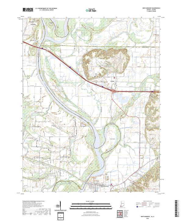
2022 Map of New Harmony
USGS Topo · Published 2022About this map
The Wabash River carves a complex path through the Illinois-Indiana borderlands, defining the fertile lowlands and shifting topography of this riverine landscape. New Harmony stands at the southern edge of this survey, near the Old Channel Wabash River, a reminder of the water's historic migration across the floodplains. The terrain is marked by distinctive landforms such as Mumford Hills and Poplar Ridge, while numerous islands like Bull Island and Ribeyre Island are sequestered between active and legacy channels.
Find a feature on this map
99 named features on this map. Tap any name to fly to it.
Don’t see what you’re looking for? This feature index may not catch every label — zoom into the map to look around manually.
Map Details
Editions of this 2022 New Harmony Map
This is the sole edition of this map. No revisions or reprints were ever made.
Other maps of this area

1903 · New Harmony
USGS Topo · 1:62,500

1903 · Patoka
USGS Topo · 1:125,000

1904 · Mount Carmel
USGS Topo · 1:62,500

1938 · New Harmony
USGS Topo · 1:62,500

1940 · Carmi
USGS Topo · 1:62,500

1943 · Carmi
USGS Topo · 1:62,500

1943 · Albion
USGS Topo · 1:62,500

1946 · Albion
USGS Topo · 1:62,500

1956 · Vincennes
USGS Topo · 1:250,000

1957 · Vincennes
USGS Topo · 1:250,000