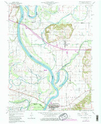
1959 Map of New Harmony
USGS Topo · Published 1981About this map
New Harmony anchors the southeastern corner of this map, reflecting a settlement pattern deeply tied to the winding Wabash River and its complex network of oxbows and islands. The river's influence is evident in the broad agricultural plains of Fox Island and Ribeyre Island, while the northern landscape transitions into the distinctive Mumford Hills. In this mid-century period, the regional economy is defined by a mix of river-based commerce, multiple rail lines including the Illinois Central Gulf, and active oil extraction, as indicated by numerous Oil wells scattered through the floodplains.
Find a feature on this map
38 named features on this map. Tap any name to fly to it.
Don’t see what you’re looking for? This feature index may not catch every label — zoom into the map to look around manually.
Map Details
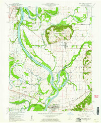
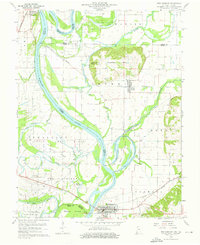
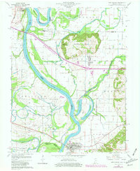
Editions of this 1959 New Harmony Map
4 editions found
Other maps of this area

1903 · New Harmony
USGS Topo · 1:62,500

1903 · Patoka
USGS Topo · 1:125,000

1904 · Mount Carmel
USGS Topo · 1:62,500

1938 · New Harmony
USGS Topo · 1:62,500

1940 · Carmi
USGS Topo · 1:62,500

1943 · Carmi
USGS Topo · 1:62,500

1943 · Albion
USGS Topo · 1:62,500

1946 · Albion
USGS Topo · 1:62,500

1956 · Vincennes
USGS Topo · 1:250,000

1957 · Vincennes
USGS Topo · 1:250,000