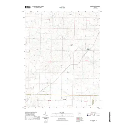
2017 Map of New Hartford
USGS Topo · Published 2017About this map
The settlement of New Hartford serves as a central hub for this rural portion of Pike County, where the landscape is defined by the headwaters of numerous creeks. This 2017 survey shows a region deeply connected to its agricultural roots, with small clusters like Estes and Marling punctuating a network of county roads. For genealogists, the map is particularly valuable for its documentation of local family history, noting several small burial grounds such as Elmore Cem and Harelson Cem. The drainages of Indian Creek and Wolfpen Cr carve through the terrain, while man-made features like Moore Lake and Bachman Lake provide localized water sources. The tri-county junction of Pike, Montgomery, and Lincoln counties is clearly delineated in the southern reaches, highlighting the political boundaries that intersect this quiet Missouri countryside.
Find a feature on this map
75 named features on this map. Tap any name to fly to it.
Don’t see what you’re looking for? This feature index may not catch every label — zoom into the map to look around manually.
Map Details
Editions of this 2017 New Hartford Map
This is the sole edition of this map. No revisions or reprints were ever made.
Other maps of this area

1890 · Louisiana
USGS Topo · 1:125,000

1937 · Silex
USGS Topo · 1:62,500

1937 · Bowling Green
USGS Topo · 1:62,500

1939 · Silex
USGS Topo · 1:48,000

1940 · Bowling Green
USGS Topo · 1:62,500

1942 · Bellflower
USGS Topo · 1:62,500

1943 · Vandalia
USGS Topo · 1:62,500

1945 · Bellflower
USGS Topo · 1:62,500

1945 · Vandalia
USGS Topo · 1:62,500

1948 · Quincy
USGS Topo · 1:250,000