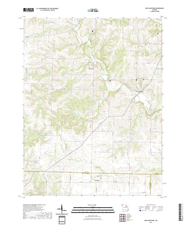
2021 Map of New Hartford
USGS Topo · Published 2021About this map
New Hartford and the small settlement of Marling anchor this rural landscape in the northeast Missouri corner where Pike Co, Lincoln Co, and Montgomery Co meet. The terrain is defined by a dense network of creek branches, including Indian Creek, Wolfpen Cr, and Big Lead Cr, which have carved the rolling topography that separates family farms and homesteads.
Find a feature on this map
69 named features on this map. Tap any name to fly to it.
Don’t see what you’re looking for? This feature index may not catch every label — zoom into the map to look around manually.
Map Details
Editions of this 2021 New Hartford Map
This is the sole edition of this map. No revisions or reprints were ever made.
Other maps of this area

1890 · Louisiana
USGS Topo · 1:125,000

1937 · Silex
USGS Topo · 1:62,500

1937 · Bowling Green
USGS Topo · 1:62,500

1939 · Silex
USGS Topo · 1:48,000

1940 · Bowling Green
USGS Topo · 1:62,500

1942 · Bellflower
USGS Topo · 1:62,500

1943 · Vandalia
USGS Topo · 1:62,500

1945 · Bellflower
USGS Topo · 1:62,500

1945 · Vandalia
USGS Topo · 1:62,500

1948 · Quincy
USGS Topo · 1:250,000