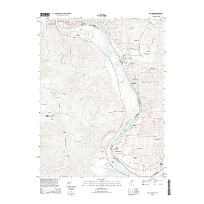
2014 Map of New Haven
USGS Topo · Published 2014About this map
The Ohio River carves a dramatic northward bend through this borderland, separating the river towns of West Virginia from the riverside communities of Meigs County, Ohio. On the West Virginia side, the industrial and residential grid of New Haven and Hartford City sits against the riverbanks, while the interior landscape is defined by high ridges like Board and Cedar Hill. The map reveals a dense network of family and community history through numerous burial grounds, including the Old Hartford Cem, Yonker Cem, and the Evergreen Cem near the southern bend. Rural life is anchored by landmarks such as the Upper Flats White Church and distinctive natural features like Letart Island and Finlaw Lake. Small named runs and creeks, such as Jennie Watts Run and Tuppers Run, drain the dissected hills into the main river channel, illustrating the traditional topography of the Ohio Valley.
Find a feature on this map
61 named features on this map. Tap any name to fly to it.
Don’t see what you’re looking for? This feature index may not catch every label — zoom into the map to look around manually.
Map Details
Editions of this 2014 New Haven Map
This is the sole edition of this map. No revisions or reprints were ever made.
Other maps of this area

1907 · Pomeroy
USGS Topo · 1:62,500

1907 · Keno
USGS Topo · 1:62,500

1908 · Ravenswood
USGS Topo · 1:62,500

1908 · Point Pleasant
USGS Topo · 1:62,500

1926 · Ravenswood
USGS Topo · 1:62,500

1926 · Point Pleasant
USGS Topo · 1:62,500

1928 · Ravenswood
USGS Topo · 1:62,500

1929 · Point Pleasant
USGS Topo · 1:62,500

1947 · Columbus
USGS Topo · 1:250,000

1949 · Clarksburg
USGS Topo · 1:250,000