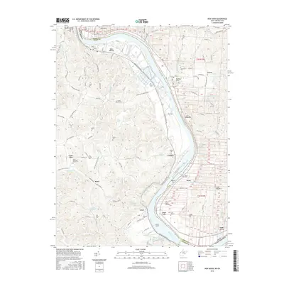
2016 Map of New Haven
USGS Topo · Published 2016About this map
The Ohio River meanders through the heart of this border region, defining the boundary between Mason County, West Virginia, and Meigs County, Ohio. River-oriented settlements such as New Haven, Hartford City, and Racine anchor the northern reaches, while the river's sharp curve to the south reveals Letart Island and the Letart Falls Bottoms. This landscape is deeply marked by a dense network of local history, preserved in numerous family and community burial grounds including the Old Hartford Cem, Hoffman Cem, and Peter Fry Cem.
Find a feature on this map
129 named features on this map. Tap any name to fly to it.
Don’t see what you’re looking for? This feature index may not catch every label — zoom into the map to look around manually.
Map Details
Editions of this 2016 New Haven Map
This is the sole edition of this map. No revisions or reprints were ever made.
Other maps of this area

1907 · Pomeroy
USGS Topo · 1:62,500

1907 · Keno
USGS Topo · 1:62,500

1908 · Ravenswood
USGS Topo · 1:62,500

1908 · Point Pleasant
USGS Topo · 1:62,500

1926 · Ravenswood
USGS Topo · 1:62,500

1926 · Point Pleasant
USGS Topo · 1:62,500

1928 · Ravenswood
USGS Topo · 1:62,500

1929 · Point Pleasant
USGS Topo · 1:62,500

1947 · Columbus
USGS Topo · 1:250,000

1949 · Clarksburg
USGS Topo · 1:250,000