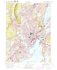
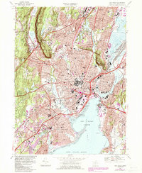
1967 Map of New Haven
USGS Topo · Published 1979About this map
New Haven and its surrounding communities are captured in this mid-century period of expansion, showing the dense urban core and its industrial and academic infrastructure. The Yale Bowl and the massive Yale-New Haven Medical Center anchor the central landscape, while the Penn Central rail lines and the Connecticut Turnpike demonstrate the transportation networks feeding the harbor. To the west, the prominent West Rock Ridge rise above Westville, providing a sharp natural boundary to the development that fills the valleys of the West River and Mill River.
Find a feature on this map
128 named features on this map. Tap any name to fly to it.
Don’t see what you’re looking for? This feature index may not catch every label — zoom into the map to look around manually.
Map Details
Editions of this 1967 New Haven Map
5 editions found
Other maps of this area

1889 · Derby
USGS Topo · 1:62,500

1891 · Bridgeport
USGS Topo · 1:62,500

1891 · Derby
USGS Topo · 1:62,500

1892 · New Haven
USGS Topo · 1:62,500

1893 · Bridgeport
USGS Topo · 1:62,500

1893 · Derby
USGS Topo · 1:62,500

1920 · Bridgeport
USGS Topo · 1:62,500

1921 · New Haven
USGS Topo · 1:62,500

1943 · New Haven
USGS Topo · 1:31,680

1943 · Naugatuck
USGS Topo · 1:31,680