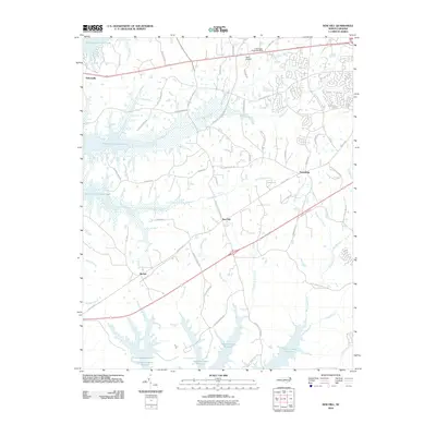
2010 Map of New Hill
USGS Topo · Published 2010About this map
New Hill and the surrounding rural communities of western Wake County are defined by a complex hydraulic landscape of reservoirs and creeks at the start of the twenty-first century. The vast waters of B Everett Jordan Lake dominate the northwest, while the southern reach is anchored by the Shearon Harris Reservoir. These major water projects, alongside the Gerringer-Goodman Dam, altered the traditional drainage patterns of local tributaries like Little Beaver Creek and White Oak Creek.
Find a feature on this map
58 named features on this map. Tap any name to fly to it.
Don’t see what you’re looking for? This feature index may not catch every label — zoom into the map to look around manually.
Map Details
Editions of this 2010 New Hill Map
This is the sole edition of this map. No revisions or reprints were ever made.
Other maps of this area

1943 · Durham South
USGS Topo · 1:62,500

1951 · Farrington
USGS Topo · 1:24,000

1951 · Durham South
USGS Topo · 1:62,500

1953 · Raleigh
USGS Topo · 1:250,000

1954 · Raleigh
USGS Topo · 1:250,000

1969 · New Hope Dam
USGS Topo · 1:24,000

1970 · Moncure
USGS Topo · 1:24,000
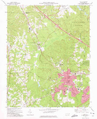
1973 · Cary
USGS Topo · 1:24,000
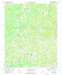
1973 · Green Level
USGS Topo · 1:24,000

1974 · Apex
USGS Topo · 1:24,000