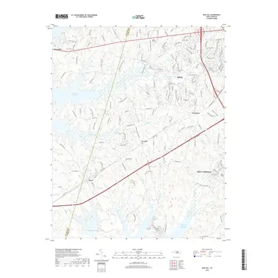
2019 Map of New Hill
USGS Topo · Published 2019About this map
New Hill and the surrounding borderlands between Wake and Chatham counties are defined by a mix of suburban growth and major water management infrastructure. The southern portion of the map is dominated by the sprawling Shearon Harris Reservoir, while the northwestern corner captures a section of the B Everett Jordan Lake shoreline. These massive reservoirs reshape the traditional drainage of White Oak Creek and Beaver Creek, creating a landscape where modern recreation and utility meet older crossroads communities. Historically significant nodes like Bonsal and Friendship appear alongside the expanding footprints of Apex and Holly Springs. The presence of Deck Airpark and numerous family-named roads such as John Horton Rd and Kadir Womble Dr suggests a transition from rural homesteads to contemporary residential development in this Piedmont corridor.
Find a feature on this map
147 named features on this map. Tap any name to fly to it.
Don’t see what you’re looking for? This feature index may not catch every label — zoom into the map to look around manually.
Map Details
Editions of this 2019 New Hill Map
This is the sole edition of this map. No revisions or reprints were ever made.
Other maps of this area

1943 · Durham South
USGS Topo · 1:62,500

1951 · Farrington
USGS Topo · 1:24,000

1951 · Durham South
USGS Topo · 1:62,500

1953 · Raleigh
USGS Topo · 1:250,000

1954 · Raleigh
USGS Topo · 1:250,000

1969 · New Hope Dam
USGS Topo · 1:24,000

1970 · Moncure
USGS Topo · 1:24,000
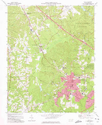
1973 · Cary
USGS Topo · 1:24,000
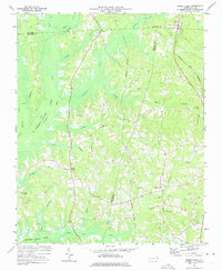
1973 · Green Level
USGS Topo · 1:24,000

1974 · Apex
USGS Topo · 1:24,000