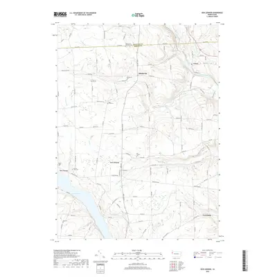
2019 Map of New Lebanon
USGS Topo · Published 2019About this map
New Lebanon anchors this landscape in Mercer County, where rural settlements follow the winding paths of the local watershed. The area is defined by its deep community roots, evidenced by numerous burial grounds such as Fairfield Church Cem, New Lebanon Cem, and Pleasantview Mennonite Cem. The terrain is drained by several waterways, including North Deer Creek and French Creek, which flow toward the prominent basin of Lake Wilhelm in the southwest corner. To the north, Milledgeville and Carlton sit near the Crawford County line, connected by a network of secondary roads and township routes like Old US Hwy 322. This modern survey illustrates a long-standing agricultural pattern, where family-named roads and small crossroads settlements have persisted despite the shifts in Pennsylvania's regional transportation infrastructure.
Find a feature on this map
105 named features on this map. Tap any name to fly to it.
Don’t see what you’re looking for? This feature index may not catch every label — zoom into the map to look around manually.
Map Details
Editions of this 2019 New Lebanon Map
This is the sole edition of this map. No revisions or reprints were ever made.
Other maps of this area

1909 · Franklin
USGS Topo · 1:62,500

1911 · Franklin
USGS Topo · 1:62,500

1911 · Stoneboro
USGS Topo · 1:62,500

1913 · Stoneboro
USGS Topo · 1:62,500

1923 · Meadville
USGS Topo · 1:62,500

1925 · Meadville
USGS Topo · 1:62,500

1927 · Townville
USGS Topo · 1:48,000

1932 · Townville
USGS Topo · 1:62,500

1943 · Meadville
USGS Topo · 1:62,500

1943 · Stoneboro
USGS Topo · 1:62,500
Featured Places
- New Vernon Township, PA
- New Lebanon, PA
- Five Points, Mill Creek Township
- Carlton, French Creek Township
- Frenchcreek Township, PA