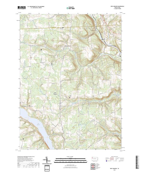
2023 Map of New Lebanon
USGS Topo · Published 2023About this map
New Lebanon sits at the heart of this rural Mercer County landscape, where the terrain is defined by the winding course of North Deer Creek and the broader valley of French Creek. The map documents a deeply rooted agricultural and residential community, centered around the historic village of Milledgeville and the western reaches of Carlton. The southern edge of the sheet is dominated by the sprawling waters of Lake Wilhelm, a significant hydrological feature that reshaped the local drainage patterns of Mill Creek and Dugan Run.
Find a feature on this map
101 named features on this map. Tap any name to fly to it.
Don’t see what you’re looking for? This feature index may not catch every label — zoom into the map to look around manually.
Map Details
Editions of this 2023 New Lebanon Map
This is the sole edition of this map. No revisions or reprints were ever made.
Other maps of this area

1909 · Franklin
USGS Topo · 1:62,500

1911 · Franklin
USGS Topo · 1:62,500

1911 · Stoneboro
USGS Topo · 1:62,500

1913 · Stoneboro
USGS Topo · 1:62,500

1923 · Meadville
USGS Topo · 1:62,500

1925 · Meadville
USGS Topo · 1:62,500

1927 · Townville
USGS Topo · 1:48,000

1932 · Townville
USGS Topo · 1:62,500

1943 · Meadville
USGS Topo · 1:62,500

1943 · Stoneboro
USGS Topo · 1:62,500
Featured Places
- New Vernon Township, PA
- New Lebanon, PA
- Fairfield Township, PA
- Frenchcreek Township, PA
- Sandy Lake Township, PA