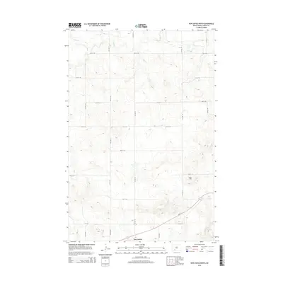
2014 Map of New Leipzig North
USGS Topo · Published 2014About this map
New Leipzig sits at the southern edge of this West River landscape, serving as a primary hub for the surrounding agricultural district of Grant County. The terrain is defined by the prominent Frey Hills to the east and the meandering path of Antelope Cr in the northern reaches, illustrating the drainage patterns that have shaped local ranching and farming since settlement. A rigid grid of section-line roads, including 74th Ave SW and 64th St SW, organizes the prairie into a patchwork of rural holdings. The presence of Nd-21 provides the vital east-west corridor connecting this community to the broader region, reflecting the modern transportation infrastructure that sustains these small Great Plains townships.
Find a feature on this map
18 named features on this map. Tap any name to fly to it.
Don’t see what you’re looking for? This feature index may not catch every label — zoom into the map to look around manually.
Map Details
Editions of this 2014 New Leipzig North Map
This is the sole edition of this map. No revisions or reprints were ever made.
Other maps of this area

1938 · Heart Butte
USGS Topo · 1:48,000

1944 · Heart Butte
USGS Topo · 1:62,500

1953 · Dickinson
USGS Topo · 1:250,000

1954 · Bismarck
USGS Topo · 1:250,000

1957 · Dickinson
USGS Topo · 1:250,000

1958 · Bismarck
USGS Topo · 1:250,000

1960 · Clark Butte
USGS Topo · 1:24,000

1969 · North Star Butte
USGS Topo · 1:24,000

1969 · Bentley
USGS Topo · 1:24,000

1972 · New Leipzig South
USGS Topo · 1:24,000