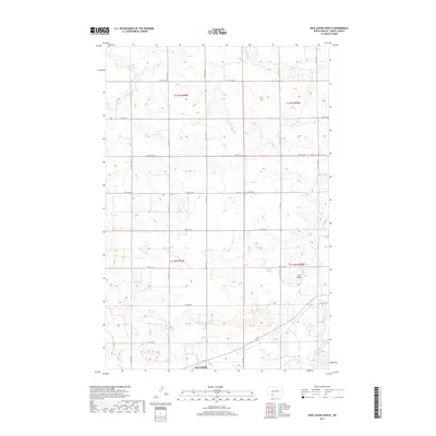
2017 Map of New Leipzig North
USGS Topo · Published 2017About this map
The settlement of New Leipzig anchors the southern edge of this high-plains landscape in Grant County. Characterized by a sprawling grid of rural section roads, the terrain is defined by the winding course of Antelope Cr as it cuts through the northern portion of the survey area. To the southeast, the Frey Hills rise above the surrounding agricultural land, providing a distinct topographical relief in an otherwise uniform prairie setting. This 2017 survey reflects the modern cadastral organization of the region, meticulously recording the township and range divisions such as t134n r90w and t135n r90w. The map preserves the exact alignment of numerous local corridors, including 64th St SW and 70th Ave SW, which facilitate movement through this remote part of North Dakota's central grasslands.
Find a feature on this map
21 named features on this map. Tap any name to fly to it.
Don’t see what you’re looking for? This feature index may not catch every label — zoom into the map to look around manually.
Map Details
Editions of this 2017 New Leipzig North Map
This is the sole edition of this map. No revisions or reprints were ever made.
Other maps of this area

1938 · Heart Butte
USGS Topo · 1:48,000

1944 · Heart Butte
USGS Topo · 1:62,500

1953 · Dickinson
USGS Topo · 1:250,000

1954 · Bismarck
USGS Topo · 1:250,000

1957 · Dickinson
USGS Topo · 1:250,000

1958 · Bismarck
USGS Topo · 1:250,000

1960 · Clark Butte
USGS Topo · 1:24,000

1969 · North Star Butte
USGS Topo · 1:24,000

1969 · Bentley
USGS Topo · 1:24,000

1972 · New Leipzig South
USGS Topo · 1:24,000