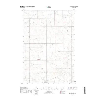
2020 Map of New Leipzig North
USGS Topo · Published 2020About this map
The settlement of New Leipzig sits at the southern edge of this West River landscape, serving as a focal point for the surrounding agricultural sections of Grant County. North of town, the terrain rises into the Frey Hills, a series of elevations that break the horizon between the drainage of Antelope Cr and the southern townships. The map illustrates a meticulously organized grid of section lines and gravel roads, such as 74th Ave SW and 73rd Ave SW, which define the ranching and farming boundaries of the early 21st century. This survey preserves the exact administrative divisions of t135n r90w and t134n r89w, reflecting the enduring Public Land Survey System that has governed North Dakota land ownership since the homesteading era.
Find a feature on this map
21 named features on this map. Tap any name to fly to it.
Don’t see what you’re looking for? This feature index may not catch every label — zoom into the map to look around manually.
Map Details
Editions of this 2020 New Leipzig North Map
This is the sole edition of this map. No revisions or reprints were ever made.
Other maps of this area

1938 · Heart Butte
USGS Topo · 1:48,000

1944 · Heart Butte
USGS Topo · 1:62,500

1953 · Dickinson
USGS Topo · 1:250,000

1954 · Bismarck
USGS Topo · 1:250,000

1957 · Dickinson
USGS Topo · 1:250,000

1958 · Bismarck
USGS Topo · 1:250,000

1960 · Clark Butte
USGS Topo · 1:24,000

1969 · North Star Butte
USGS Topo · 1:24,000

1969 · Bentley
USGS Topo · 1:24,000

1972 · New Leipzig South
USGS Topo · 1:24,000