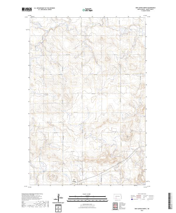
2024 Map of New Leipzig North
USGS Topo · Published 2024About this map
New Leipzig anchors the southern edge of this West River landscape in Grant County, where the plains give way to the distinctive elevations of the Frey Hills. The map depicts a highly structured agricultural grid, defined by a dense network of section-line roads like 73rd Ave SW and 66th St SW. These routes facilitate movement across the rolling prairie toward the drainage of Antelope Creek in the northwest. This modern survey reflects the enduring homesteading patterns of the Northern Plains, showing how the township and range system continues to organize the rural life and land use of North Dakota. For those tracing family land holdings or local history, the map provides the precise spatial context for the farms and ranges surrounding the community of New Leipzig.
Find a feature on this map
21 named features on this map. Tap any name to fly to it.
Don’t see what you’re looking for? This feature index may not catch every label — zoom into the map to look around manually.
Map Details
Editions of this 2024 New Leipzig North Map
This is the sole edition of this map. No revisions or reprints were ever made.
Other maps of this area

1938 · Heart Butte
USGS Topo · 1:48,000

1944 · Heart Butte
USGS Topo · 1:62,500

1953 · Dickinson
USGS Topo · 1:250,000

1954 · Bismarck
USGS Topo · 1:250,000

1957 · Dickinson
USGS Topo · 1:250,000

1958 · Bismarck
USGS Topo · 1:250,000

1960 · Clark Butte
USGS Topo · 1:24,000

1969 · North Star Butte
USGS Topo · 1:24,000

1969 · Bentley
USGS Topo · 1:24,000

1972 · New Leipzig South
USGS Topo · 1:24,000