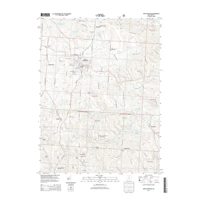
2013 Map of New Lexington
USGS Topo · Published 2013About this map
New Lexington serves as the focal point of this survey, positioned where the valley of Rush Cr meets a complex network of local roads and the legacy of the Railroad St corridor. The town's historical fabric is evident in the presence of the Old Baptist Church and First Methodist Church, alongside established burial grounds like Saint Aloysius Cem. To the north, the New Lexington Water Supply Reservoir and New Lexington Reservoir highlight the importance of water management for the growing community.
Find a feature on this map
146 named features on this map. Tap any name to fly to it.
Don’t see what you’re looking for? This feature index may not catch every label — zoom into the map to look around manually.
Map Details
Editions of this 2013 New Lexington Map
This is the sole edition of this map. No revisions or reprints were ever made.
Other maps of this area

1907 · Logan
USGS Topo · 1:62,500

1909 · Thornville
USGS Topo · 1:62,500

1909 · Logan
USGS Topo · 1:62,500

1910 · Zanesville
USGS Topo · 1:62,500

1911 · New Lexington
USGS Topo · 1:62,500

1947 · Columbus
USGS Topo · 1:250,000

1961 · Columbus
USGS Topo · 1:250,000

1961 · Corning
USGS Topo · 1:24,000

1961 · New Lexington
USGS Topo · 1:24,000

1961 · Deavertown
USGS Topo · 1:24,000