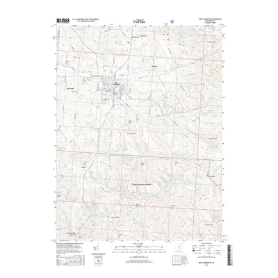
2016 Map of New Lexington
USGS Topo · Published 2016About this map
The seat of Perry County, New Lexington, serves as a focal point for this survey of the northern Appalachian foothills. The town's grid is characterized by religious and community history, with several burial grounds such as the First Methodist Church Cem and Old Baptist Church Cem situated near the center. To the south and west, the landscape transitions into the wooded ridges of the Wayne National Forest, where topography is defined by features like Bristol Ridge and Skinner Ridge. The economy of the era is represented by the Perry County Airport and various water resources, including the New Lexington Water Supply Reservoir and the Sunnyhill Slurry Impoundment. Surrounding hamlets like Moxahala, McCuneville, and Rehoboth are linked by a network of rural roads such as Hollow Rd and Old Somerset Rd, following the winding paths of Moxahala Cr and Monday Cr.
Find a feature on this map
134 named features on this map. Tap any name to fly to it.
Don’t see what you’re looking for? This feature index may not catch every label — zoom into the map to look around manually.
Map Details
Editions of this 2016 New Lexington Map
This is the sole edition of this map. No revisions or reprints were ever made.
Other maps of this area

1907 · Logan
USGS Topo · 1:62,500

1909 · Thornville
USGS Topo · 1:62,500

1909 · Logan
USGS Topo · 1:62,500

1910 · Zanesville
USGS Topo · 1:62,500

1911 · New Lexington
USGS Topo · 1:62,500

1947 · Columbus
USGS Topo · 1:250,000

1961 · Columbus
USGS Topo · 1:250,000

1961 · Corning
USGS Topo · 1:24,000

1961 · New Lexington
USGS Topo · 1:24,000

1961 · Deavertown
USGS Topo · 1:24,000