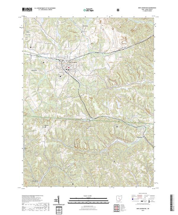
2023 Map of New Lexington
USGS Topo · Published 2023About this map
New Lexington serves as the focal point of this Perry County landscape, centered on the Perry County Courthouse and a grid of streets including Main St and Eastern Ave. The town is flanked by a significant number of historical burial grounds, such as Saint Aloysius Cem and New Lexington Cem, which provide valuable location data for genealogists. The terrain north of town is defined by Rush Creek and the settlement of Rehoboth, while the southern portion of the map transitions into the wooded ridges of the Wayne National Forest.
Find a feature on this map
59 named features on this map. Tap any name to fly to it.
Don’t see what you’re looking for? This feature index may not catch every label — zoom into the map to look around manually.
Map Details
Editions of this 2023 New Lexington Map
This is the sole edition of this map. No revisions or reprints were ever made.
Other maps of this area

1907 · Logan
USGS Topo · 1:62,500

1909 · Thornville
USGS Topo · 1:62,500

1909 · Logan
USGS Topo · 1:62,500

1910 · Zanesville
USGS Topo · 1:62,500

1911 · New Lexington
USGS Topo · 1:62,500

1947 · Columbus
USGS Topo · 1:250,000

1961 · Columbus
USGS Topo · 1:250,000

1961 · Corning
USGS Topo · 1:24,000

1961 · New Lexington
USGS Topo · 1:24,000

1961 · Deavertown
USGS Topo · 1:24,000