
1950 Map of New Liberty
USGS Topo · Published 1952About this map
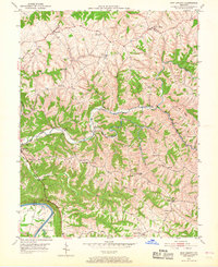
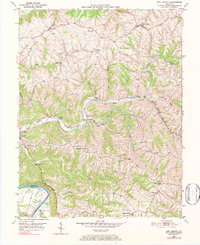
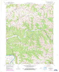
The Kentucky River carves through the southwestern corner of this 1950 Owen County landscape, defining the border with Henry County. The settlement of New Liberty serves as a focal point in the northeast, while Wheatley and Squiresville anchor the surrounding rural ridges. This era of Owen County history is characterized by a dense network of family and community landmarks, particularly an exceptional concentration of cemeteries such as the I O O F Cem, Masonic Cem, and Alexander Cem. The land is deeply dissected by the winding drainage of Big Twin Creek and Little Twin Creek, which feed into the river valley. Local community life is further evidenced by landmarks like the White Chapel Sch and several country churches, including Salem Ch and Mt Zion Ch, situated along the winding routes of the Citizens Pike and the many unnamed ridge roads.
Find a feature on this map
40 named features on this map. Tap any name to fly to it.
Don’t see what you’re looking for? This feature index may not catch every label — zoom into the map to look around manually.
Map Details
Editions of this 1950 New Liberty Map
4 editions found
Other maps of this area

1906 · Lockport
USGS Topo · 1:48,000

1908 · Lockport
USGS Topo · 1:62,500

1928 · New Castle
USGS Topo · 1:48,000

1932 · New Castle
USGS Topo · 1:62,500

1943 · Vevay South
USGS Topo · 1:24,000

1950 · Glencoe
USGS Topo · 1:24,000

1950 · Owenton
USGS Topo · 1:24,000

1951 · Sanders
USGS Topo · 1:24,000

1952 · Vevay South
USGS Topo · 1:24,000

1952 · Worthville
USGS Topo · 1:24,000