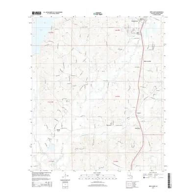
2015 Map of New Llano
USGS Topo · Published 2015About this map
Anacoco Lake dominates the northwest quadrant of this survey, surrounded by a network of rural routes such as Lunkers Cove Rd and VFW Landing Rd. The landscape south of Leesville is characterized by the convergence of several major watercourses, including Bayou Castor, Bayou Anacoco, and Bayou Zourie. The settlement of New Llano occupies a central position along the corridor leading south toward Pickering, reflecting the region's historic transition from a socialist colony into a permanent community.
Find a feature on this map
97 named features on this map. Tap any name to fly to it.
Don’t see what you’re looking for? This feature index may not catch every label — zoom into the map to look around manually.
Map Details
Editions of this 2015 New Llano Map
This is the sole edition of this map. No revisions or reprints were ever made.
Other maps of this area

1941 · Leesville
USGS Topo · 1:62,500

1941 · Slagle
USGS Topo · 1:62,500

1943 · Leesville
USGS Topo · 1:62,500

1944 · Slagle
USGS Topo · 1:62,500

1946 · Leesville
USGS Topo · 1:62,500

1947 · Rosepine
USGS Topo · 1:31,680

1947 · Knight
USGS Topo · 1:31,680

1947 · Chasmore
USGS Topo · 1:31,680

1948 · Leesville
USGS Topo · 1:62,500

1952 · Lake Charles
USGS Topo · 1:250,000