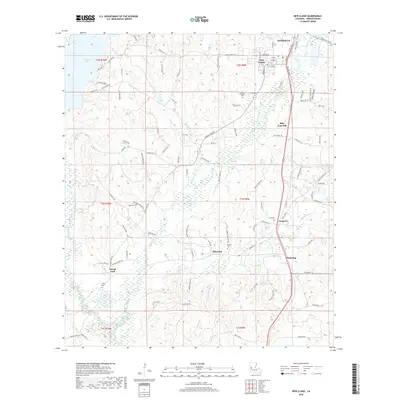
2018 Map of New Llano
USGS Topo · Published 2018About this map
Leesville and the neighboring community of New Llano anchor the northern portion of this Louisiana landscape, where the Kansas City Southern railroad serves as a primary north-south corridor. The terrain is defined by the winding paths of Bayou Castor and Bayou Zourie, with the waters of Anacoco Lake marking the western edge. This 2018 survey provides an detailed view of the rural settlement patterns south of the parish seat, including smaller localities such as Elmwood, Pickering, and Savage Fork. Numerous family and community burial sites are documented throughout the area, including Gill Cem, Mount Pleasant Cem, and Wilson Cem. The presence of timber-related infrastructure, such as Boise Cascade Dr, highlights the ongoing importance of the local forest industry. This document is particularly valuable for researchers tracing Vernon Parish genealogy, as it precisely locates several small cemeteries and established family-named landmarks like Billy Goat Hill.
Find a feature on this map
121 named features on this map. Tap any name to fly to it.
Don’t see what you’re looking for? This feature index may not catch every label — zoom into the map to look around manually.
Map Details
Editions of this 2018 New Llano Map
This is the sole edition of this map. No revisions or reprints were ever made.
Other maps of this area

1941 · Leesville
USGS Topo · 1:62,500

1941 · Slagle
USGS Topo · 1:62,500

1943 · Leesville
USGS Topo · 1:62,500

1944 · Slagle
USGS Topo · 1:62,500

1946 · Leesville
USGS Topo · 1:62,500

1947 · Rosepine
USGS Topo · 1:31,680

1947 · Knight
USGS Topo · 1:31,680

1947 · Chasmore
USGS Topo · 1:31,680

1948 · Leesville
USGS Topo · 1:62,500

1952 · Lake Charles
USGS Topo · 1:250,000