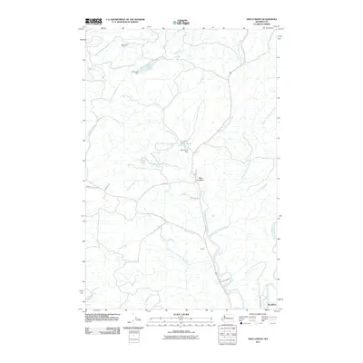
2011 Map of New London
USGS Topo · Published 2011About this map
The confluence of several major waterways defines this landscape north of Hoquiam, where the West Fork Hoquiam River, Middle Fork Hoquiam River, and East Fork Hoquiam River converge toward the Grays Harbor basin. This 2011 survey shows the small settlements of New London and Polson along the riverbanks, as well as Woodlawn to the southeast. Water management infrastructure is prominent, including the Hoquiam Water Works, Davis Creek Dam, and Failor Lake Dam.
Find a feature on this map
31 named features on this map. Tap any name to fly to it.
Don’t see what you’re looking for? This feature index may not catch every label — zoom into the map to look around manually.
Map Details
Editions of this 2011 New London Map
This is the sole edition of this map. No revisions or reprints were ever made.
Other maps of this area

1938 · Moclips
USGS Topo · 1:62,500

1941 · Moclips
USGS Topo · 1:62,500

1941 · Grayland
USGS Topo · 1:62,500

1943 · Humptulips
USGS Topo · 1:62,500

1943 · Copalis Beach
USGS Topo · 1:250,000

1951 · Copalis Beach
USGS Topo · 1:250,000

1953 · Hoquiam
USGS Topo · 1:250,000

1955 · Humptulips
USGS Topo · 1:62,500

1955 · Carlisle
USGS Topo · 1:24,000

1956 · Copalis Crossing
USGS Topo · 1:24,000