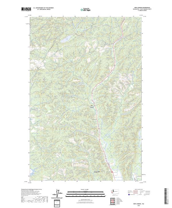
2023 Map of New London
USGS Topo · Published 2023About this map
New London sits at the heart of this coastal river network, where the intricate drainages of the Olympic Peninsula meet the northern reaches of Hoquiam. The landscape is defined by the convergence of the West Fork Hoquiam River, Middle Fork Hoquiam River, and East Fork Hoquiam River, a system vital to the region's timber and water history. Local infrastructure is anchored by the Hoquiam Water Works and a series of rural routes like Failor Lake Rd and Chenois Valley Rd.
Find a feature on this map
34 named features on this map. Tap any name to fly to it.
Don’t see what you’re looking for? This feature index may not catch every label — zoom into the map to look around manually.
Map Details
Editions of this 2023 New London Map
This is the sole edition of this map. No revisions or reprints were ever made.
Other maps of this area

1938 · Moclips
USGS Topo · 1:62,500

1941 · Moclips
USGS Topo · 1:62,500

1941 · Grayland
USGS Topo · 1:62,500

1943 · Humptulips
USGS Topo · 1:62,500

1943 · Copalis Beach
USGS Topo · 1:250,000

1951 · Copalis Beach
USGS Topo · 1:250,000

1953 · Hoquiam
USGS Topo · 1:250,000

1955 · Humptulips
USGS Topo · 1:62,500

1955 · Carlisle
USGS Topo · 1:24,000

1956 · Copalis Crossing
USGS Topo · 1:24,000