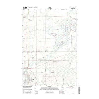
2016 Map of New London
USGS Topo · Published 2016About this map
The Embarrass River winds southward through a landscape of wetlands and low hills to meet the Wolf River at the edge of New London. This 2016 survey illustrates the convergence of Waupaca and Outagamie counties, where the city's street grid gives way to a sprawling rural network of county roads and family-named landmarks. The topography is punctuated by prominent rises such as Mosquito Hill and Turney Hill, both of which host namesake burial grounds.
Find a feature on this map
99 named features on this map. Tap any name to fly to it.
Don’t see what you’re looking for? This feature index may not catch every label — zoom into the map to look around manually.
Map Details
Editions of this 2016 New London Map
This is the sole edition of this map. No revisions or reprints were ever made.
Other maps of this area

1955 · Embarrass
USGS Topo · 1:48,000

1955 · Clintonville
USGS Topo · 1:48,000

1955 · Green Bay
USGS Topo · 1:250,000

1956 · New London
USGS Topo · 1:48,000

1956 · Weyauwega
USGS Topo · 1:48,000

1969 · New London
USGS Topo · 1:24,000

1969 · Readfield
USGS Topo · 1:24,000
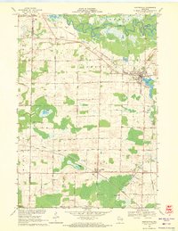
1969 · Hortonville
USGS Topo · 1:24,000

1969 · Northport
USGS Topo · 1:24,000

1969 · Leeman
USGS Topo · 1:24,000