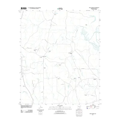
2011 Map of New London
USGS Topo · Published 2011About this map
The New London settlement in Union County serves as the focal point for this 2011 survey, a landscape defined by its timber and petroleum industries. The presence of the New London Lookout Tower and the small community of Sawmill underscore the importance of the regional forestry sector, while the North New London Oil and Gas Field, Winchester Oil Field, and New London Oil Field reveal the significant energy footprint across these woodlands.
Find a feature on this map
56 named features on this map. Tap any name to fly to it.
Don’t see what you’re looking for? This feature index may not catch every label — zoom into the map to look around manually.
Map Details
Editions of this 2011 New London Map
This is the sole edition of this map. No revisions or reprints were ever made.
Other maps of this area

1933 · Strong
USGS Topo · 1:62,500

1934 · Ingalls
USGS Topo · 1:48,000

1934 · Felsenthal
USGS Topo · 1:62,500

1934 · Moro Bay
USGS Topo · 1:62,500

1937 · Strong
USGS Topo · 1:62,500

1937 · Felsenthal
USGS Topo · 1:62,500

1937 · Ingalls
USGS Topo · 1:62,500

1938 · Felsenthal
USGS Topo · 1:62,500

1938 · Moro Bay
USGS Topo · 1:62,500

1939 · Felsenthal
USGS Topo · 1:62,500