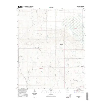
2017 Map of New London
USGS Topo · Published 2017About this map
New London and the surrounding timberlands of Union County define this rural Arkansas landscape. The area is marked by a legacy of local industry and community life, anchored by McGlendon Mill and the eponymous Sawmill settlement to the southeast. Family and congregational history is deeply embedded in the terrain, evidenced by numerous burial sites including New London Cem, Ebenezer Cem, and Ward Chapel Cem. The drainage patterns of Lapoile Cr and its tributaries, such as Cannon Cr and Gorman Br, dictate the winding paths of rural roads like Pigeon Hill Rd and Careyville Rd. To the northeast, the terrain shifts into the wetter lowlands of the Ouachita River basin, featuring Pine Island and the stagnant waters of Gum Slough and Deep Slough.
Find a feature on this map
57 named features on this map. Tap any name to fly to it.
Don’t see what you’re looking for? This feature index may not catch every label — zoom into the map to look around manually.
Map Details
Editions of this 2017 New London Map
This is the sole edition of this map. No revisions or reprints were ever made.
Other maps of this area

1933 · Strong
USGS Topo · 1:62,500

1934 · Ingalls
USGS Topo · 1:48,000

1934 · Felsenthal
USGS Topo · 1:62,500

1934 · Moro Bay
USGS Topo · 1:62,500

1937 · Strong
USGS Topo · 1:62,500

1937 · Felsenthal
USGS Topo · 1:62,500

1937 · Ingalls
USGS Topo · 1:62,500

1938 · Felsenthal
USGS Topo · 1:62,500

1938 · Moro Bay
USGS Topo · 1:62,500

1939 · Felsenthal
USGS Topo · 1:62,500