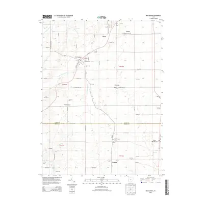
2013 Map of New Madison
USGS Topo · Published 2013About this map
New Madison serves as the primary hub in this agricultural landscape of western Ohio, situated along the E Fork Whitewater River. The area is densely patterned with family legacies, seen in the numerous burial grounds like Greenmound Cem, Harter Cem, and the Old Castine Cem near the eastern border. These sites, along with the First Universalist Ch, provide essential coordinates for genealogical research in Darke and Preble counties.
Find a feature on this map
79 named features on this map. Tap any name to fly to it.
Don’t see what you’re looking for? This feature index may not catch every label — zoom into the map to look around manually.
Map Details
Editions of this 2013 New Madison Map
This is the sole edition of this map. No revisions or reprints were ever made.
Other maps of this area

1915 · New Paris
USGS Topo · 1:48,000

1916 · Winchester
USGS Topo · 1:48,000

1918 · Winchester
USGS Topo · 1:62,500

1918 · New Paris
USGS Topo · 1:62,500

1943 · Winchester
USGS Topo · 1:62,500

1953 · Cincinnati
USGS Topo · 1:250,000

1953 · Muncie
USGS Topo · 1:250,000

1956 · Muncie
USGS Topo · 1:250,000

1957 · Cincinnati
USGS Topo · 1:250,000

1960 · New Madison
USGS Topo · 1:24,000