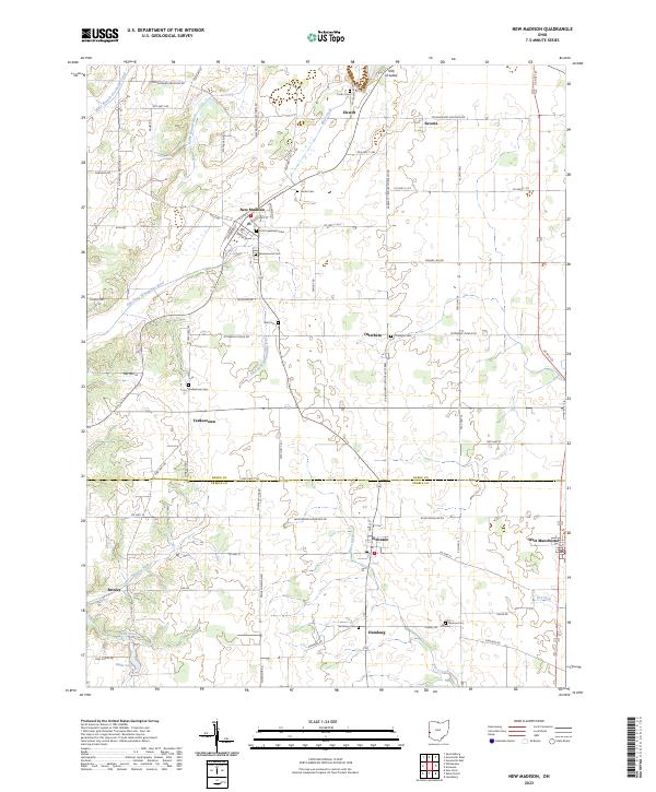
2023 Map of New Madison
USGS Topo · Published 2023About this map
New Madison serves as a primary hub in this agricultural region of western Ohio, where the landscape is divided by the Darke Co Preble Co line. The area is defined by a dense network of township roads and county highways that link established settlements like Eldorado and West Manchester. Local history is deeply etched into the land through numerous burial grounds, including the First Universalist Cem and Greenmound Cem near the town center, as well as outlying sites like Wilt Cem and Yankeetown Cem.
Find a feature on this map
80 named features on this map. Tap any name to fly to it.
Don’t see what you’re looking for? This feature index may not catch every label — zoom into the map to look around manually.
Map Details
Editions of this 2023 New Madison Map
This is the sole edition of this map. No revisions or reprints were ever made.
Other maps of this area

1915 · New Paris
USGS Topo · 1:48,000

1916 · Winchester
USGS Topo · 1:48,000

1918 · Winchester
USGS Topo · 1:62,500

1918 · New Paris
USGS Topo · 1:62,500

1943 · Winchester
USGS Topo · 1:62,500

1953 · Cincinnati
USGS Topo · 1:250,000

1953 · Muncie
USGS Topo · 1:250,000

1956 · Muncie
USGS Topo · 1:250,000

1957 · Cincinnati
USGS Topo · 1:250,000

1960 · New Madison
USGS Topo · 1:24,000