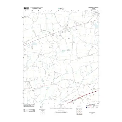
2010 Map of New Market
USGS Topo · Published 2010About this map
New Market serves as the focal point of this local landscape, positioned near the Norfolk Southern rail line and the New Market Post Office. The area is defined by a historical mining presence, with the North Friends Station Mine, Young Mine, and Grasselli Mine scattered across the undulating terrain. Family history is well-represented through numerous burial grounds such as McBee Cemetery, Hodges Cemetery, and the Youngs Memorial Cemetery.
Find a feature on this map
112 named features on this map. Tap any name to fly to it.
Don’t see what you’re looking for? This feature index may not catch every label — zoom into the map to look around manually.
Map Details
Editions of this 2010 New Market Map
This is the sole edition of this map. No revisions or reprints were ever made.
Other maps of this area

1883 · Morristown
USGS Topo · 1:125,000

1886 · Knoxville
USGS Topo · 1:125,000

1892 · Knoxville
USGS Topo · 1:125,000

1893 · Mt Guyot
USGS Topo · 1:125,000

1893 · Morristown
USGS Topo · 1:125,000

1894 · Knoxville
USGS Topo · 1:125,000

1895 · Morristown
USGS Topo · 1:125,000

1895 · Knoxville
USGS Topo · 1:125,000

1897 · Maynardville
USGS Topo · 1:125,000

1900 · Maynardville
USGS Topo · 1:125,000