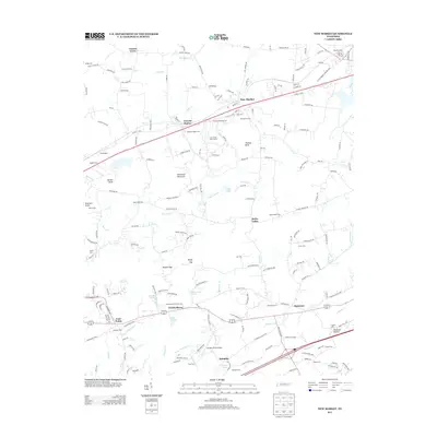
2013 Map of New Market
USGS Topo · Published 2013About this map
New Market serves as the central hub of this East Tennessee landscape, situated along a prominent transportation corridor where the local post office and several historic cemeteries, such as New Market Cem, anchor the community. The topography is defined by significant ridges and knobs, including Sourwood Mountain and Thomas Knob, which separate the various agricultural and residential settlements. To the south, the terrain descends toward the Dumplin Creek drainage, passing through Woolardtown and Piedmont.
Find a feature on this map
191 named features on this map. Tap any name to fly to it.
Don’t see what you’re looking for? This feature index may not catch every label — zoom into the map to look around manually.
Map Details
Editions of this 2013 New Market Map
This is the sole edition of this map. No revisions or reprints were ever made.
Other maps of this area

1883 · Morristown
USGS Topo · 1:125,000

1886 · Knoxville
USGS Topo · 1:125,000

1892 · Knoxville
USGS Topo · 1:125,000

1893 · Mt Guyot
USGS Topo · 1:125,000

1893 · Morristown
USGS Topo · 1:125,000

1894 · Knoxville
USGS Topo · 1:125,000

1895 · Morristown
USGS Topo · 1:125,000

1895 · Knoxville
USGS Topo · 1:125,000

1897 · Maynardville
USGS Topo · 1:125,000

1900 · Maynardville
USGS Topo · 1:125,000