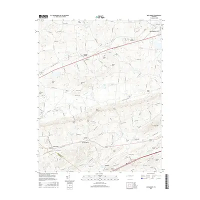
2016 Map of New Market
USGS Topo · Published 2016About this map
Bays Mountain and Shields Ridge anchor the landscape of this East Tennessee region, where the border of Jefferson and Sevier counties meets. The area is defined by a dense concentration of family and community burial grounds, such as Youngs Memorial Cem, Vance Cem, and Cate Cem, which serve as vital markers for genealogical research in this part of the Appalachian foothills. Settlement patterns follow the valleys and gaps, with the historic railroad corridor at Friends Station and the established communities of New Market and Jefferson City to the north.
Find a feature on this map
150 named features on this map. Tap any name to fly to it.
Don’t see what you’re looking for? This feature index may not catch every label — zoom into the map to look around manually.
Map Details
Editions of this 2016 New Market Map
This is the sole edition of this map. No revisions or reprints were ever made.
Other maps of this area

1883 · Morristown
USGS Topo · 1:125,000

1886 · Knoxville
USGS Topo · 1:125,000

1892 · Knoxville
USGS Topo · 1:125,000

1893 · Mt Guyot
USGS Topo · 1:125,000

1893 · Morristown
USGS Topo · 1:125,000

1894 · Knoxville
USGS Topo · 1:125,000

1895 · Morristown
USGS Topo · 1:125,000

1895 · Knoxville
USGS Topo · 1:125,000

1897 · Maynardville
USGS Topo · 1:125,000

1900 · Maynardville
USGS Topo · 1:125,000