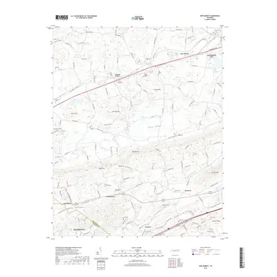
2019 Map of New Market
USGS Topo · Published 2019About this map
New Market and the neighboring Jefferson City anchor this East Tennessee landscape, where the valley floor transitions into the prominent ridges of Bays Mountain and Shields Ridge. The map documents a dense concentration of rural landmarks, including numerous family and community burial grounds such as Youngs Memorial Cem and Wooten Chapel Cem near Friends Station. The transport network follows historical patterns, with the W Old Andrew Johnson Hwy and Old Knoxville Hwy threading through established settlements like Woolardtown and Dumplin. Hydrological features like Tuckahoe Creek and Dumplin Creek define the lowlands between the knobs, while distinctive peaks like Batten Knob and Thomas Knob rise above the agricultural valley. This detailed topographical record captures the area's intricate mix of small-town development and long-held rural land divisions.
Find a feature on this map
63 named features on this map. Tap any name to fly to it.
Don’t see what you’re looking for? This feature index may not catch every label — zoom into the map to look around manually.
Map Details
Editions of this 2019 New Market Map
This is the sole edition of this map. No revisions or reprints were ever made.
Other maps of this area

1883 · Morristown
USGS Topo · 1:125,000

1886 · Knoxville
USGS Topo · 1:125,000

1892 · Knoxville
USGS Topo · 1:125,000

1893 · Mt Guyot
USGS Topo · 1:125,000

1893 · Morristown
USGS Topo · 1:125,000

1894 · Knoxville
USGS Topo · 1:125,000

1895 · Morristown
USGS Topo · 1:125,000

1895 · Knoxville
USGS Topo · 1:125,000

1897 · Maynardville
USGS Topo · 1:125,000

1900 · Maynardville
USGS Topo · 1:125,000