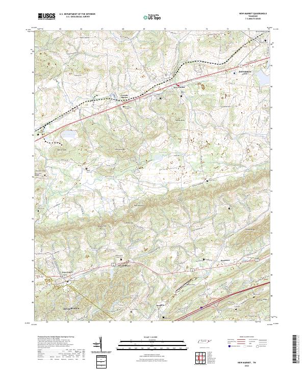
2022 Map of New Market
USGS Topo · Published 2022About this map
New Market and Friends Station anchor the northern landscape of this Jefferson County region, situated along a prominent transit corridor where the terrain begins to rise into the ridges of East Tennessee. The topography is defined by the northeast-to-southwest alignment of Bays Mountain and Shields Ridge, which funnel local drainage through Beaver Cr and Tuckahoe Cr. Small rural settlements like Woolardtown and Piedmont are interconnected by a network of historic routes including Old Knoxville Hwy and Thorngrove Pike.
Find a feature on this map
113 named features on this map. Tap any name to fly to it.
Don’t see what you’re looking for? This feature index may not catch every label — zoom into the map to look around manually.
Map Details
Editions of this 2022 New Market Map
This is the sole edition of this map. No revisions or reprints were ever made.
Other maps of this area

1883 · Morristown
USGS Topo · 1:125,000

1886 · Knoxville
USGS Topo · 1:125,000

1892 · Knoxville
USGS Topo · 1:125,000

1893 · Mt Guyot
USGS Topo · 1:125,000

1893 · Morristown
USGS Topo · 1:125,000

1894 · Knoxville
USGS Topo · 1:125,000

1895 · Morristown
USGS Topo · 1:125,000

1895 · Knoxville
USGS Topo · 1:125,000

1897 · Maynardville
USGS Topo · 1:125,000

1900 · Maynardville
USGS Topo · 1:125,000