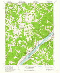
1960 Map of New Matamoras
USGS Topo · Published 1962About this map
The Ohio River valley serves as a bustling corridor between Ohio and West Virginia in this early 1960s survey, where the river's path is punctuated by Wells Island, Mill Creek Island, and Crab Island. On the West Virginia bank, Sistersville stands out as a significant riverfront hub, complete with an Athletic Field and a Golf Course, while the Baltimore and Ohio railroad tracks trace the shoreline toward the community of Friendly. Across the water in Ohio, New Matamoras and Grandview anchor the riverfront, backed by the deep wooded draws of the Wayne National Forest.
Find a feature on this map
56 named features on this map. Tap any name to fly to it.
Don’t see what you’re looking for? This feature index may not catch every label — zoom into the map to look around manually.
Map Details
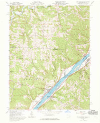
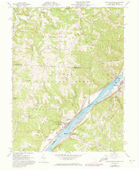
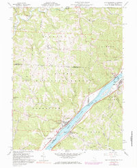
Editions of this 1960 New Matamoras Map
4 editions found
Other maps of this area

1905 · West Union
USGS Topo · 1:62,500

1905 · New Matamoras
USGS Topo · 1:62,500

1906 · Saint Marys
USGS Topo · 1:62,500

1906 · New Martinsville
USGS Topo · 1:62,500

1924 · St Marys
USGS Topo · 1:62,500

1924 · New Martinsville
USGS Topo · 1:62,500

1924 · New Matamoras
USGS Topo · 1:62,500

1924 · West Union
USGS Topo · 1:62,500

1926 · New Martinsville
USGS Topo · 1:62,500

1926 · New Matamoras
USGS Topo · 1:62,500