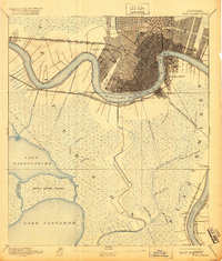
1891 Map of New Orleans
USGS Topo · Published 1920About this map
The crescent bend of the Mississippi River anchors this 1890 survey, showing the dense urban grid of New Orleans as it expanded toward City Park and the outlying neighborhoods of Algiers and Gretna. This era was defined by a massive concentration of rail infrastructure, with lines like the Texas and Pacific Railroad and the Southern Pacific Railroad converging along the riverbanks to serve the city's port.
Find a feature on this map
42 named features on this map. Tap any name to fly to it.
Don’t see what you’re looking for? This feature index may not catch every label — zoom into the map to look around manually.
Map Details
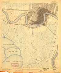
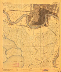
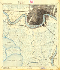
Editions of this 1891 New Orleans Map
5 editions found
Other maps of this area

1891 · Hahnville
USGS Topo · 1:62,500

1891 · Spanish Fort
USGS Topo · 1:62,500

1891 · Pointe a La Hache
USGS Topo · 1:62,500

1891 · New Orleans
USGS Topo · 1:62,500

1892 · Barataria
USGS Topo · 1:62,500

1892 · Chef Menteur
USGS Topo · 1:62,500

1892 · Bonnet Carre
USGS Topo · 1:62,500

1892 · Cut-Off
USGS Topo · 1:62,500

1892 · St. Bernard
USGS Topo · 1:62,500

1892 · Pointe a La Hache
USGS Topo · 1:62,500