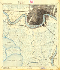
1891 Map of New Orleans
USGS Topo · Published 1931About this map
The Mississippi River defines the landscape of this late 19th-century survey, sweeping in deep bends past a densely gridded New Orleans and its surrounding riverfront communities. Settlement at this time is concentrated heavily along the natural levees, with the burgeoning city radiating from the French Quarter toward Audubon Park. Across the water, the industrial and residential character of the West Bank is evident in the developed footprints of Gretna, Algiers, and Macdonoughville.
Find a feature on this map
42 named features on this map. Tap any name to fly to it.
Don’t see what you’re looking for? This feature index may not catch every label — zoom into the map to look around manually.
Map Details
Editions of this 1891 New Orleans Map
5 editions found
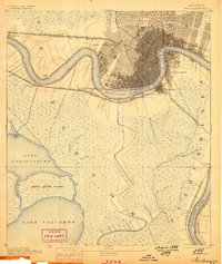
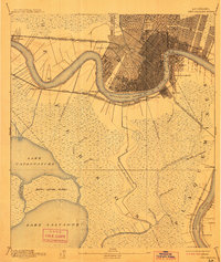
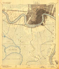
Other maps of this area

1891 · Hahnville
USGS Topo · 1:62,500

1891 · Spanish Fort
USGS Topo · 1:62,500

1891 · Pointe a La Hache
USGS Topo · 1:62,500

1891 · New Orleans
USGS Topo · 1:62,500

1892 · Barataria
USGS Topo · 1:62,500

1892 · Chef Menteur
USGS Topo · 1:62,500

1892 · Bonnet Carre
USGS Topo · 1:62,500

1892 · Cut-Off
USGS Topo · 1:62,500

1892 · St. Bernard
USGS Topo · 1:62,500

1892 · Pointe a La Hache
USGS Topo · 1:62,500