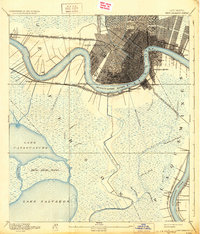
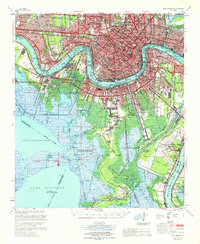
1983 Map of New Orleans
USGS Topo · Published 1983This historical map portrays the area of New Orleans in 1983, primarily covering Orleans Parish as well as portions of St. Bernard Parish, St. John the Baptist Parish, Jefferson Parish, Terrebonne Parish, Lafourche Parish, Plaquemines Parish, Assumption Parish, St. James Parish, and St. Charles Parish. Featuring a scale of 1:100000, this map provides a highly detailed snapshot of the terrain, roads, buildings, counties, and historical landmarks in the New Orleans region at the time. Published in 1983, it is one of 2 known editions of this map due to revisions or reprints.
Find a feature on this map
220 named features on this map. Tap any name to fly to it.
Don’t see what you’re looking for? This feature index may not catch every label — zoom into the map to look around manually.
Map Details
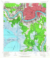
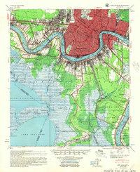
Editions of this 1983 New Orleans Map
2 editions found
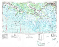
Historical Maps of Metairie Terrace Through Time
8 maps found