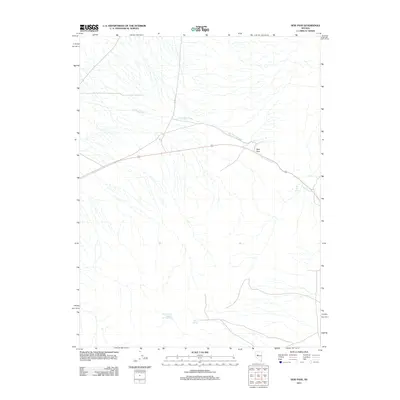
2011 Map of New Pass
USGS Topo · Published 2011About this map
New Pass serves as a critical topographic gap in Churchill County, where a highway route cuts through the high desert terrain. This 2011 survey by the U.S. Geological Survey documents a remote landscape defined by its vital water sources, including the remarkably named Upper Lower Jordan Valley Spring and Abel Spring. The drainage of New Pass Creek follows the corridor of the pass, providing a natural path through the mountains that has long guided travelers across this arid portion of Nevada. The presence of New Pass Spring near the creek suggests the historical importance of this location for providing reliable water in a region where such resources are scarce. Aside from the primary roadway and the local Alpine E track, the map reveals a wilderness largely untouched by dense settlement, preserving the original character of the Great Basin.
Find a feature on this map
6 named features on this map. Tap any name to fly to it.
Don’t see what you’re looking for? This feature index may not catch every label — zoom into the map to look around manually.
Map Details
Editions of this 2011 New Pass Map
This is the sole edition of this map. No revisions or reprints were ever made.
Other maps of this area

1955 · Millett
USGS Topo · 1:250,000

1959 · Millett
USGS Topo · 1:250,000

1966 · Edwards Creek Valley
USGS Topo · 1:62,500

1969 · Mount Airy
USGS Topo · 1:24,000

1969 · Mount Airy NW
USGS Topo · 1:24,000

1969 · Emigrant Peak
USGS Topo · 1:24,000

1969 · Carroll Summit NE
USGS Topo · 1:24,000

1969 · Basque Summit
USGS Topo · 1:24,000

1983 · Edwards Creek Valley
USGS Topo · 1:100,000

1985 · Smith Creek Valley
USGS Topo · 1:100,000