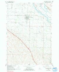
1965 Map of New Plymouth
USGS Topo · Published 1992About this map
The unique horseshoe-shaped street plan of New Plymouth defines the northern portion of this Idaho study, situated within the irrigated Lower Payette Valley. This layout, designed by the New Plymouth Colony in the late 19th century, remains a striking geometric landmark amidst a landscape dominated by the Payette River and an extensive irrigation network including the Farmers Cooperative Canal and Noble Canal. To the south, the terrain shifts from level valley floor to the dissected uplands of the Bluffs, where several drainages like Hurd Gulch and Ashlock Gulch carve through the landscape.
Find a feature on this map
31 named features on this map. Tap any name to fly to it.
Don’t see what you’re looking for? This feature index may not catch every label — zoom into the map to look around manually.
Map Details
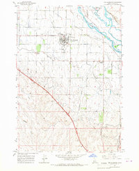
Editions of this 1965 New Plymouth Map
2 editions found
Other maps of this area

1897 · Weiser
USGS Topo · 1:125,000

1898 · Nampa
USGS Topo · 1:125,000

1951 · Payette
USGS Topo · 1:24,000

1952 · Birding Island
USGS Topo · 1:24,000

1955 · Baker
USGS Topo · 1:250,000

1955 · Boise
USGS Topo · 1:250,000

1958 · Boise
USGS Topo · 1:250,000

1959 · Baker
USGS Topo · 1:250,000

1962 · Boise
USGS Topo · 1:250,000
1965 · Nyssa
USGS Topo · 1:24,000