Loading...
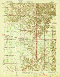
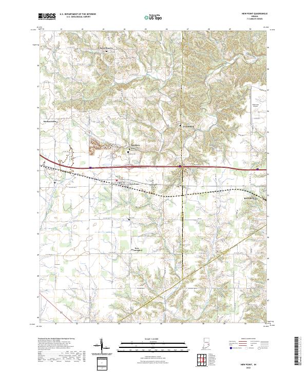
Loading map...1946 Map of New Point
USGS Topo · Published 1946About this map
New Point serves as the central hub of this mid-1940s landscape, positioned along the busy corridor of the New York Central railroad. This survey captures a period when rural Indiana life was organized around small neighborhood institutions, evidenced by the distribution of country schools and churches across the Salt Creek and Laughery townships. The map documents the intricate drainage patterns where the Muscatatuck Fork and Walnut Fork meet the rolling uplands of Decatur and Franklin counties.
Find a feature on this map
21 named features on this map. Tap any name to fly to it.
Don’t see what you’re looking for? This feature index may not catch every label — zoom into the map to look around manually.
Map Details
Date Portrayed1946
Date Published1946
PublisherU.S. Geological Survey
Map TypeTopographic
Scale1:24,000
Physical Dimensions20.3 x 26 inches
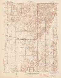
Editions of this 1946 New Point Map
2 editions found
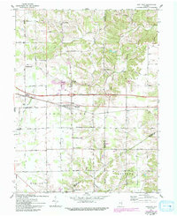
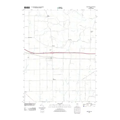
Historical Maps of Batesville Through Time
7 maps found
Featured Locations
Source Details
SourceU.S. Geological Survey
CopyrightPublic Domain