
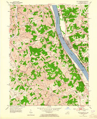
1953 Map of New Richmond
USGS Topo · Published 1955About this map
The Ohio River serves as the dominant artery of this mid-century landscape, separating the riverfront commerce of New Richmond in Ohio from the hills of Campbell County, Kentucky. The river corridor is defined by active infrastructure, notably the Lock and Dam 35 and the riverside Chesapeake and Ohio railroad line. While New Richmond shows a concentrated grid of streets and riverfront activity, the Kentucky side is characterized by dispersed rural settlements such as Persimmon Grove, Gubser Mill, and Flagg Spring. The map documents a network of community hubs anchored by rural institutions like the Sta Peter & Paul Sch and Twelvemile Ch. These small hamlets are connected by winding roads following the drainage of Twelvemile Creek and Tenmile Creek, illustrating a traditional settlement pattern before suburban expansion altered the local geography.
Find a feature on this map
47 named features on this map. Tap any name to fly to it.
Don’t see what you’re looking for? This feature index may not catch every label — zoom into the map to look around manually.
Map Details
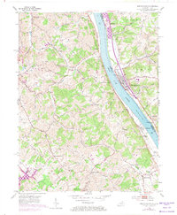
Editions of this 1953 New Richmond Map
3 editions found
Other maps of this area

1898 · East Cincinnati
USGS Topo · 1:62,500

1914 · East Cincinnati
USGS Topo · 1:62,500

1914 · Batavia
USGS Topo · 1:48,000

1916 · Batavia
USGS Topo · 1:62,500

1929 · Alexandria
USGS Topo · 1:48,000

1931 · Felicity
USGS Topo · 1:62,500

1936 · Alexandria
USGS Topo · 1:62,500

1952 · Newport
USGS Topo · 1:24,000

1953 · Laurel
USGS Topo · 1:24,000

1953 · Withamsville
USGS Topo · 1:24,000