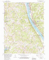
1981 Map of New Richmond
USGS Topo · Published 1992About this map
The Ohio River defines the industrial and social character of this riverfront region during the late 20th century, separating Campbell Co, Kentucky, from Clermont Co, Ohio. This 1981 survey reveals a landscape of transition where modern utility infrastructure, such as the Powerplant and Sewage Disposal plant, sits alongside landmarks of early settlement. Local history and genealogy are well represented by sites like Gubser Mill and the Clermont Academy. The Kentucky side is notably shaped by the drainage of Twelvemile Creek, leading to the established A J Jolly County Park. Along the Ohio bank, the village of New Richmond serves as a hub, accompanied by historic markers like the Watkins Cem and Greenmound Cem, reflecting the deep-seated community roots that survived the era's modernization.
Find a feature on this map
70 named features on this map. Tap any name to fly to it.
Don’t see what you’re looking for? This feature index may not catch every label — zoom into the map to look around manually.
Map Details
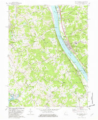
Editions of this 1981 New Richmond Map
2 editions found
Other maps of this area

1898 · East Cincinnati
USGS Topo · 1:62,500

1914 · East Cincinnati
USGS Topo · 1:62,500

1914 · Batavia
USGS Topo · 1:48,000

1916 · Batavia
USGS Topo · 1:62,500

1929 · Alexandria
USGS Topo · 1:48,000

1931 · Felicity
USGS Topo · 1:62,500

1936 · Alexandria
USGS Topo · 1:62,500

1952 · Newport
USGS Topo · 1:24,000

1953 · Laurel
USGS Topo · 1:24,000

1953 · Withamsville
USGS Topo · 1:24,000