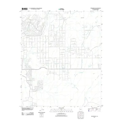
2011 Map of New River SE
USGS Topo · Published 2011About this map
Apache Peak rises above a landscape defined by an intricate network of desert washes and modern suburban expansion in Maricopa County. This 2011 survey documents the residential development pushing northward, with planned streets like N Anthem Way and Meridian Dr meeting the natural drainages of Skunk Creek and Deadman Wash. The map reveals the tension between historical land use and recent growth, where old resource markers like Bentley Mine Rd and numerous water catchments, such as Purcell Tank and Desert Lake Tank, sit adjacent to new thoroughfares like the E Sonoran Pkwy. The eastern portion remains less developed, dominated by the wide corridor of Apache Wash and the preserved lands of Cave Creek Park, while the rugged northern heights are punctuated by named points like Gunsight and Apache Spring.
Find a feature on this map
57 named features on this map. Tap any name to fly to it.
Don’t see what you’re looking for? This feature index may not catch every label — zoom into the map to look around manually.
Map Details
Editions of this 2011 New River SE Map
This is the sole edition of this map. No revisions or reprints were ever made.
Other maps of this area

1904 · Camelback
USGS Topo · 1:62,500

1906 · Camelsback
USGS Topo · 1:62,500

1930 · Cave Creek
USGS Topo · 1:125,000

1939 · Cave Creek
USGS Topo · 1:125,000

1954 · Phoenix
USGS Topo · 1:250,000

1954 · Mesa
USGS Topo · 1:250,000

1957 · Mesa
USGS Topo · 1:250,000

1957 · Phoenix
USGS Topo · 1:250,000

1957 · Hedgpeth Hills
USGS Topo · 1:24,000

1958 · Mesa
USGS Topo · 1:250,000