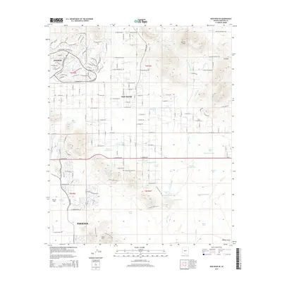
2014 Map of New River SE
USGS Topo · Published 2014About this map
Anthem and New River anchor this desert landscape at the northern edge of the metropolitan area, where suburban development meets the foothills of the Union Hills. The terrain is defined by an intricate network of ephemeral drainages such as Skunk Cr, Deadman Wash, and Apache Wash, which have shaped the local topography. This era of the region's growth is characterized by a mix of established residential grids and recreational land use, evidenced by the extensive Maricopa Regional Trail system and the Dixie Mountain Loop.
Find a feature on this map
97 named features on this map. Tap any name to fly to it.
Don’t see what you’re looking for? This feature index may not catch every label — zoom into the map to look around manually.
Map Details
Editions of this 2014 New River SE Map
This is the sole edition of this map. No revisions or reprints were ever made.
Other maps of this area

1904 · Camelback
USGS Topo · 1:62,500

1906 · Camelsback
USGS Topo · 1:62,500

1930 · Cave Creek
USGS Topo · 1:125,000

1939 · Cave Creek
USGS Topo · 1:125,000

1954 · Phoenix
USGS Topo · 1:250,000

1954 · Mesa
USGS Topo · 1:250,000

1957 · Mesa
USGS Topo · 1:250,000

1957 · Phoenix
USGS Topo · 1:250,000

1957 · Hedgpeth Hills
USGS Topo · 1:24,000

1958 · Mesa
USGS Topo · 1:250,000