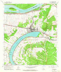
1962 Map of New Roads
USGS Topo · Published 1964About this map
False River dominates this landscape, an oxbow lake severed from the main channel of the Mississippi River which defines the northern boundary of the quadrangle. The town of New Roads sits at the northern bend of this crescent, serving as a hub where the Texas and Pacific railroad meets local roads. The map reveals a land structured by water and history, with long, narrow land lots extending from the water's edge in the traditional arpent style of French colonial settlement. These patterns are visible near communities like Wickliffe and Ventress. Along the banks, several small religious and community landmarks appear, including St Catherine Chapel, Zion Traveler Ch, and Fairlane Ch. The southern portion of the sheet is shaped by The Island, a large interior landmass bounded by the oxbow and Discharge Bayou, while the northern reaches transition into the low-lying Tunica Swamp.
Find a feature on this map
42 named features on this map. Tap any name to fly to it.
Don’t see what you’re looking for? This feature index may not catch every label — zoom into the map to look around manually.
Map Details
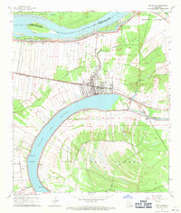
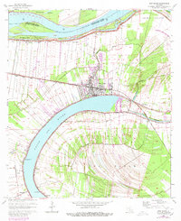
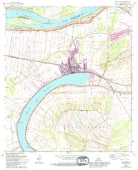
Editions of this 1962 New Roads Map
4 editions found
Other maps of this area

1906 · Bayou Sara
USGS Topo · 1:125,000

1939 · St. Francisville
USGS Topo · 1:62,500

1939 · Fordoche
USGS Topo · 1:62,500

1941 · Batchelor
USGS Topo · 1:62,500

1953 · New Roads
USGS Topo · 1:24,000

1954 · Port Hudson
USGS Topo · 1:24,000

1954 · Walls
USGS Topo · 1:24,000

1954 · Elm Park
USGS Topo · 1:24,000

1954 · Fordoche
USGS Topo · 1:24,000

1954 · Erwinville
USGS Topo · 1:24,000