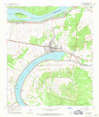
1962 Map of New Roads
USGS Topo · Published 1971About this map
New Roads serves as the focal point of this Louisiana landscape, situated along the northern bank of the oxbow known as the False River. The area reflects a complex heritage of land division, where the long-lot system of old French and Spanish grants extends from the riverfront into the fertile interior. This pattern is particularly evident on The Island, where Discharge Bayou meanders through a landscape partitioned for agriculture. The Texas and Pacific railroad cuts a straight line through the territory, connecting riverfront settlements like Wickliffe and Ventress to the broader regional economy.
Find a feature on this map
39 named features on this map. Tap any name to fly to it.
Don’t see what you’re looking for? This feature index may not catch every label — zoom into the map to look around manually.
Map Details
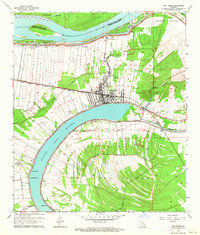
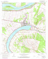
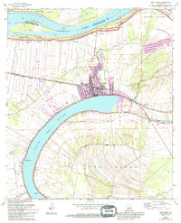
Editions of this 1962 New Roads Map
4 editions found
Other maps of this area

1906 · Bayou Sara
USGS Topo · 1:125,000

1939 · St. Francisville
USGS Topo · 1:62,500

1939 · Fordoche
USGS Topo · 1:62,500

1941 · Batchelor
USGS Topo · 1:62,500

1953 · New Roads
USGS Topo · 1:24,000

1954 · Port Hudson
USGS Topo · 1:24,000

1954 · Walls
USGS Topo · 1:24,000

1954 · Elm Park
USGS Topo · 1:24,000

1954 · Fordoche
USGS Topo · 1:24,000

1954 · Erwinville
USGS Topo · 1:24,000