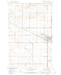
1950 Map of New Rockford
USGS Topo · Published 1977About this map
New Rockford serves as the focal point of this Eddy County survey, situated at the junction of the Great Northern railway and the winding James River. The map captures the community just as revisions in the mid-1970s reflected modern infrastructure like Tomlinson Field and the Water Works alongside traditional landmarks. Rural life is anchored by a series of numbered schoolhouses, including School No 1, School No 2, and School No 3, which delineate the townships of Munster, New Rockford, and Rosefield. To the south, the landscape is defined by wetlands such as Schwoebel Slough, while a State Game Refuge occupies a bend in the river east of town. For those tracing local history, the placement of the Prairie Home Cem and various Gravel Pits provides specific geographic markers of the era's land use and community layout.
Find a feature on this map
18 named features on this map. Tap any name to fly to it.
Don’t see what you’re looking for? This feature index may not catch every label — zoom into the map to look around manually.
Map Details
Editions of this 1950 New Rockford Map
3 editions found
Other maps of this area

1931 · Oberon
USGS Topo · 1:62,500

1932 · Flora
USGS Topo · 1:62,500

1948 · New Rockford
USGS Topo · 1:62,500

1948 · Cathay
USGS Topo · 1:62,500

1949 · Cathay SE
USGS Topo · 1:24,000

1949 · Munster
USGS Topo · 1:24,000

1950 · New Rockford
USGS Topo · 1:24,000

1950 · New Rockford NE
USGS Topo · 1:24,000

1950 · Oberon SW
USGS Topo · 1:24,000

1950 · Sheyenne
USGS Topo · 1:24,000