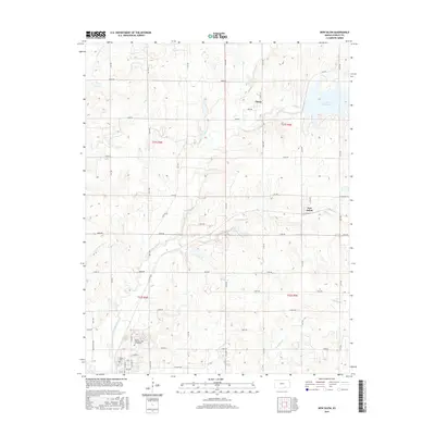
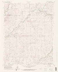
2015 Map of New Salem
USGS Topo · Published 2015About this map
Floral and New Salem anchor this Cowley County landscape, a region defined by the complex drainage of the Timber Creek system. The area reflects a late-20th and early-21st-century rural layout, where traditional section-line roads like 82nd Rd and 122nd Rd intersect a geography carved by numerous waterways, including Dutch Cr, Cedar Cr, and Lone Elm Cr.
Find a feature on this map
37 named features on this map. Tap any name to fly to it.
Don’t see what you’re looking for? This feature index may not catch every label — zoom into the map to look around manually.
Map Details
Editions of this 2015 New Salem Map
This is the sole edition of this map. No revisions or reprints were ever made.
Other maps of this area
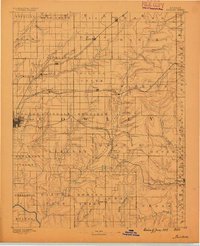
1889 · Burden
USGS Topo · 1:125,000
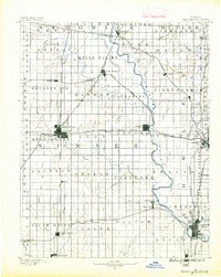
1890 · Wellington
USGS Topo · 1:125,000
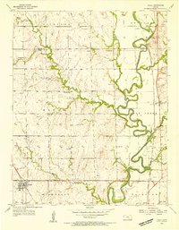
1955 · Udall
USGS Topo · 1:24,000

1955 · Wichita
USGS Topo · 1:250,000

1958 · Wichita
USGS Topo · 1:250,000
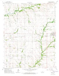
1964 · Burden
USGS Topo · 1:24,000
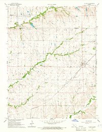
1964 · Atlanta
USGS Topo · 1:24,000
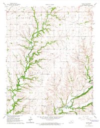
1965 · Eaton
USGS Topo · 1:24,000
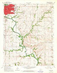
1965 · Winfield
USGS Topo · 1:24,000
1965 · Wilmot
USGS Topo · 1:24,000