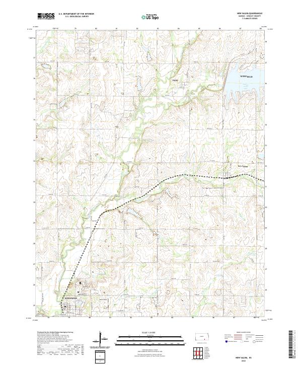
2022 Map of New Salem
USGS Topo · Published 2022About this map
Winfield serves as the primary regional anchor in this section of Cowley County, where the transition from urban outskirts to agricultural prairie is clearly defined. The city's eastern edge is marked by notable institutional and recreational sites, including the Kansas Veterans Cem at Winfield and the nearby Union Cem. To the north, the landscape is shaped by the expansive waters of Timber Creek Lake, which collects the flows of Timber Cr and Dutch Cr.
Find a feature on this map
51 named features on this map. Tap any name to fly to it.
Don’t see what you’re looking for? This feature index may not catch every label — zoom into the map to look around manually.
Map Details
Editions of this 2022 New Salem Map
This is the sole edition of this map. No revisions or reprints were ever made.
Other maps of this area

1889 · Burden
USGS Topo · 1:125,000

1890 · Wellington
USGS Topo · 1:125,000

1955 · Udall
USGS Topo · 1:24,000

1955 · Wichita
USGS Topo · 1:250,000

1958 · Wichita
USGS Topo · 1:250,000

1964 · Burden
USGS Topo · 1:24,000
1964 · Atlanta
USGS Topo · 1:24,000

1965 · Eaton
USGS Topo · 1:24,000

1965 · Winfield
USGS Topo · 1:24,000
1965 · Wilmot
USGS Topo · 1:24,000